Photographer and filmmaker Gary Yost writes about his project to document the history of the lost West Peak of Mt. Tamalpais.
Read part three of this blog series.
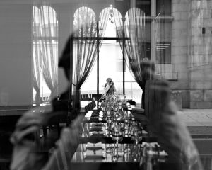
Time-lapse images of West Peak that show the contrasts between the beauty of the natural setting and the detritus of the old Air Force Station are just one aspect of the film I’m making. As I wrote in my first blog post, the overall point of this piece is to spearhead a fundraising campaign to restore the peak to its natural state. That means there will be historical material, interviews, reconstructions, and all of the things you’d expect from a storyteller such as Ken Burns.
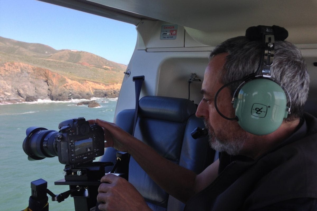
One of the most important things I need to do is establish the location of the site so that everyone can clearly see where it is. The time-lapse material doesn’t do that very well, so I need to augment it with aerial images. I’m doing this with two kinds of aerial footage: images from a helicopter starting at the Golden Gate Bridge and working up to an orbit of the Peak, and images from a drone shot low and in the ruins themselves. I’ll be combining these with additional footage to establish the setting and emotional pace very early on in the film.
So, there are a lot of issues for someone like me who’s never done an aerial shot in his life. First, what kind of weather should it be? Since I’m trying to show the location, for this footage I want clarity. Minimal clouds and as little haze as possible. And of course low wind because I need stabile shots. Since I need to match the two different sets of aerial footage, the conditions should be similar. I need blue skies, minimal haze, and low wind and you’d be surprised at how these conditions don’t frequently line up in the Bay Area. When there is good visibility, the winds tend to be higher. When the wind is lower, haze tends to show up. And so on. The best conditions are when a high pressure ridge appears right after a storm, so the air is clear but there is a minimal pressure gradient in effect over the region.
Secondly, how to stabilize the shot? I cover this in detail in the accompanying video BTS, but suffice to say that low winds (under 20–25 knots) are critical. And a gyroscope is essential for the level of stability I require. I did a tremendous amount of research over the winter and the only affordable unit I could find to rent is the Aerial Exposures X8 ATM. I found this for only $200 per day from Tom Miller at Blue Sky Aerials in Antioch. (And yes, Antioch is farther away from Marin County than it looks on a map.) Watch the video to see how this works in practice. And I used my lens’s optical stabilization along with shooting at 30p and then conforming it to 24p (effectively slowing it down by 20%).
Thirdly, how to communicate with the pilot about the shot? I used Google Earth to create a pre-visualized virtual flyover so the pilot knew exactly what I wanted to do. Of course theory and practice are a little different, and shooting out the side of a helicopter is not quite the same as the Google Earth virtual camera, but it was close enough. Pilot communication is absolutely key to this and Ron Carter of San Francisco Helicopters was an absolute dream to work with. We established clear voice communication protocols about altitude and bearing before the flight and the actual flight experience was like moving a sky crane around in 3D under voice control. Crazy fun.
What I found most interesting about this shoot was that, even though I’d never been in a helicopter before and I thought I’d be nervous about flying around up there with only a lap belt to secure me, I was so much more nervous about getting the shot right that I completely forgot to be afraid. It was exhilarating—tremendously so. But the focus (pun intended) required to get the shot right the first time trumped every other feeling I had. And I was so prepared that I knew I could do it.
That was a big part of the project and it came with a lot of satisfaction upon completion. I’m now looking for the right day to do the low-flying drone shots and hopefully that’ll happen within the next two weeks. The lightweight drones are a lot more susceptible to winds and finding a day with less than 10–12 knot winds at West Peak is a challenge.
Wish me luck!